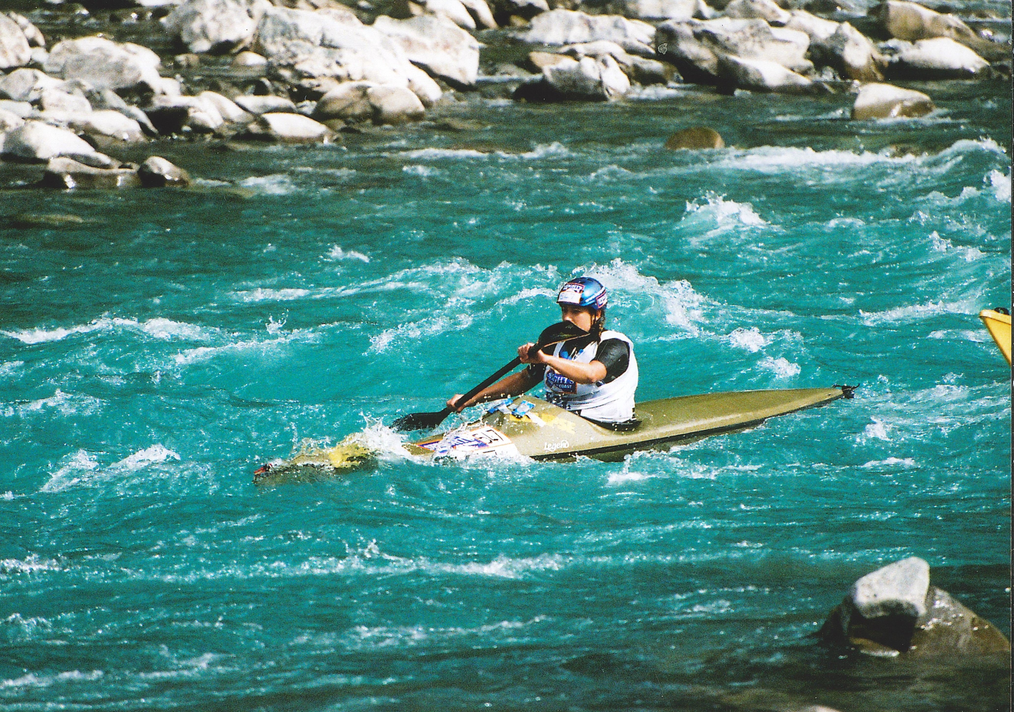
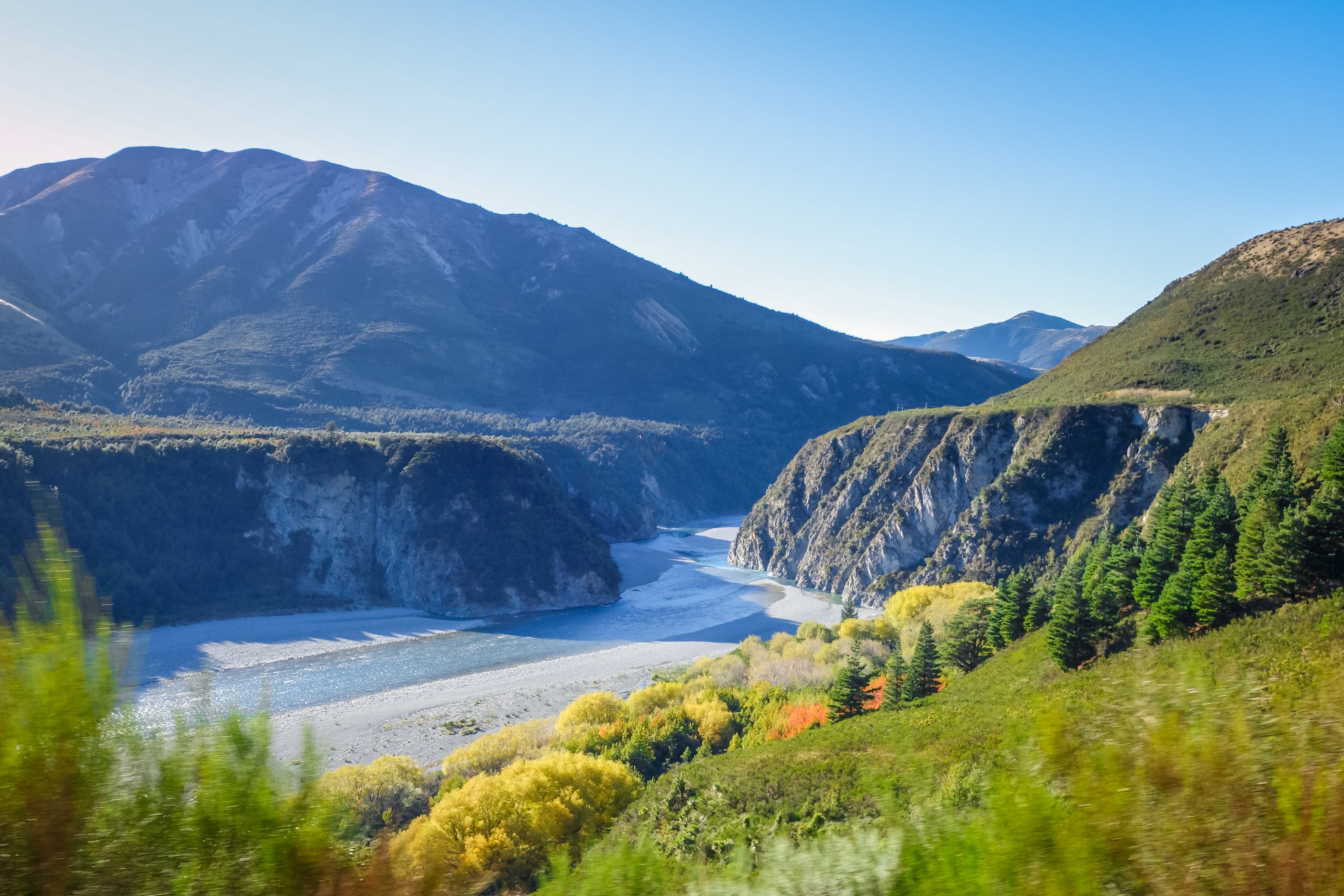

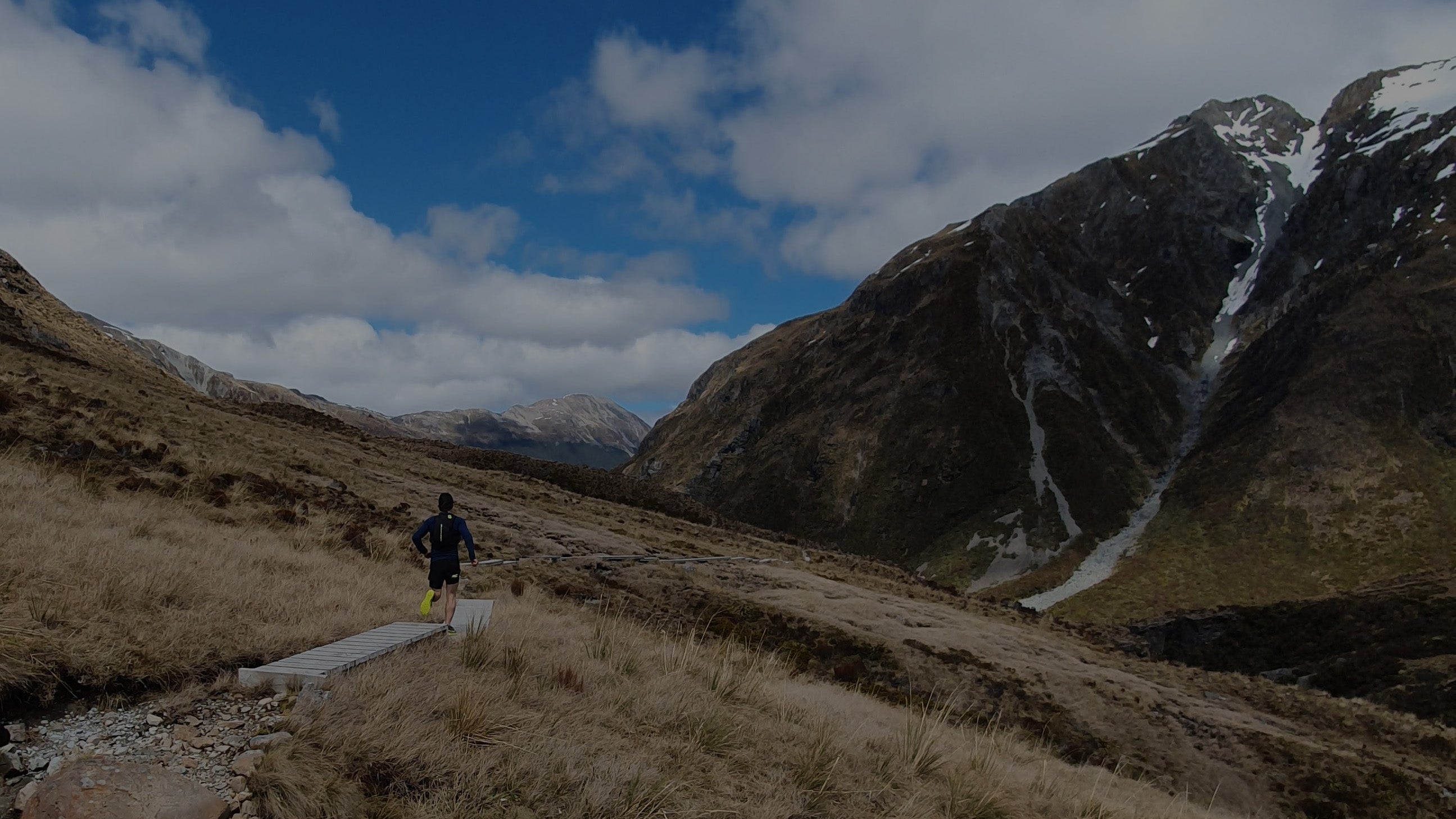
Deception/Minga Route
The main risks on this trip is river height and hence rainfall. If any rainfall has fallen in the days preceding or forecasted while you plan to be there then do not go. Of course, this depends on how much has fallen and the time of the year.
For professional advice before your trip contact the Department of Conservation in Arthur’s Pass : 03 318 9211 or visit them as you pass.
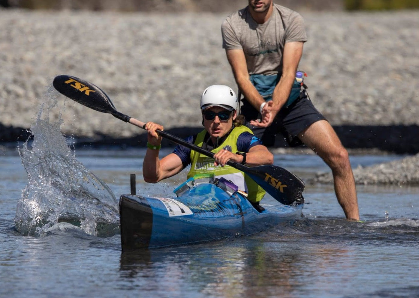
To keep you mind at ease: book a guided trip with us! See here for availability. We show you the fastest lines, you get to have a experienced guide for first aid and river crossings and we have the shuttle sorted for you all the way from Christchurch.
Before heading out on this trip you should read the NZ outdoor code:
Mountain Safety Council (Outdoor Safety Code) - Everyone should adhere to this code
See Metservice - Arthur's Pass National Park forecast
Check the precipitation amounts and ensure NO rainfall. The rivers could be high still from the previous days so check the weather maps regularly on the days before your trip.
Another handy website is MetVuw
Here you can watch the progression of any incoming fronts and the water content of them.
There are no river level gauges for the Deception or Minga rivers.
http://www.arthurspass.com/ is another great resource
It has links to forecast charts. Here you can also find a webcam so you can see real evidence on whether it is raining or not in the village.
You can check for rainfall gauge recordings on the ECAN website: https://www.ecan.govt.nz/data/rainfall-data/
The gauges to look at are:
Arthur's Pass - Village
Carrington - Upper end of Waimak river
Mount Byrne - Near Harper Pass, Upper end of Thompson River (flows into Poulter)
Ranger Stream - Poulter River. 2km downstream of Thompson and Poulter confluence
These gauges are all on the eastern side of the Alps but provides some evidence of a ‘fronts’ progression.
Please note that you also need to pay attention to wind speed and temperature as well! This is a mountain route and you must treat it as such. (Refer to the Outdoor Safety Code)
Be Prepared. Take more than enough gear. Cross the river together with correct technique.
Know when to back out. If the first crossing is too high: head home. If the weather looks to be changing, make an informed decision.