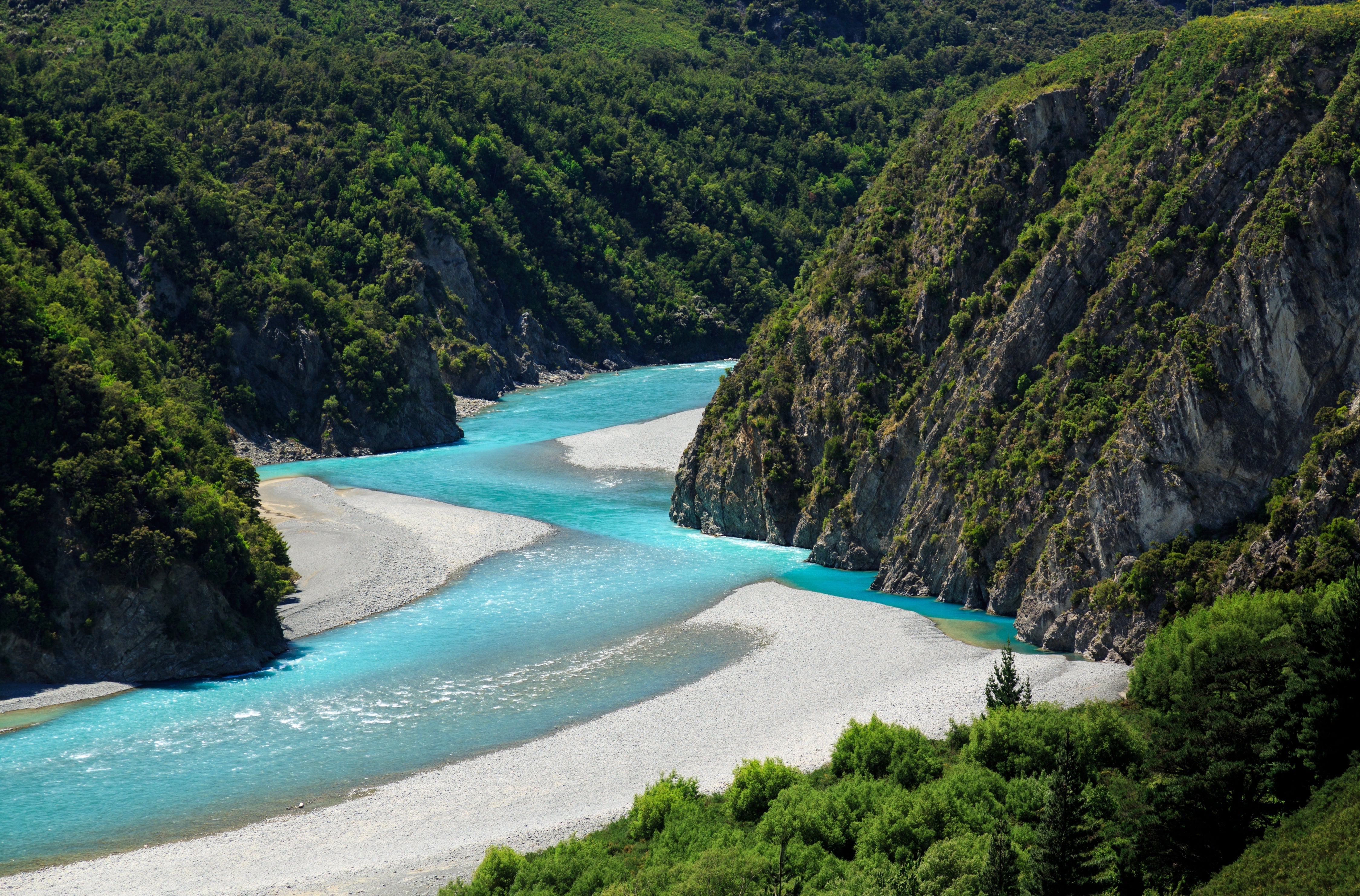
River and Weather Information - Waimakariri River
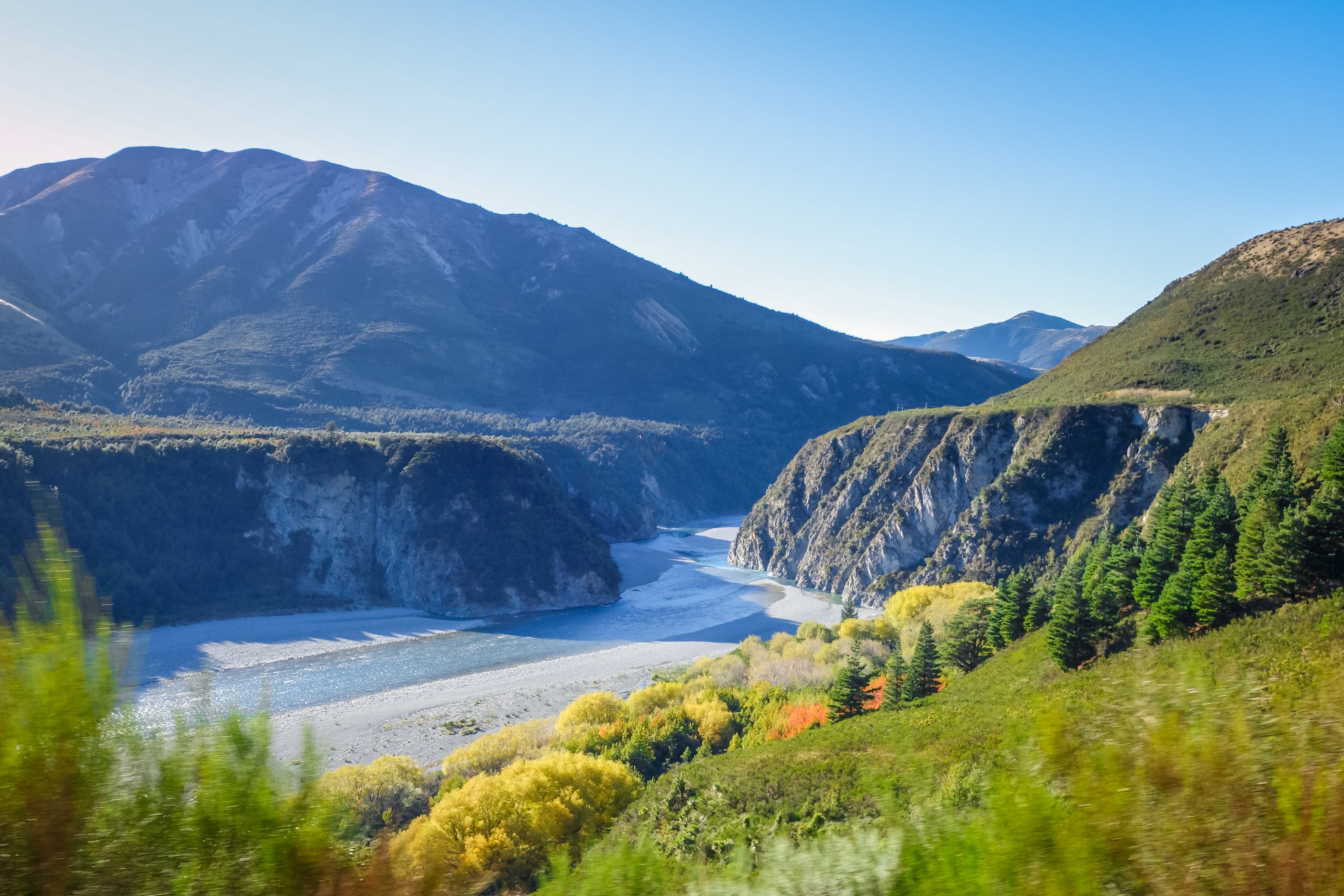
The below steps will help you make informed decisions before paddling on the Waimakariri River. The information is relevant to any section of the Waimakariri river including the Kathmandu Coast to Coast Kayak stage section (Mount White Bridge to Gorge Bridge).
Before heading away on your trip it is critical that you check the weather forecast and the river levels. These sites are up to date and accurate and will help greatly when planning your training.
Step One - WEATHER FORECASTS
In the week and days leading into your trip stay familiar with river conditions by keeping a frequent eye on the forecast weather. The forecast often changes so what you saw 7 days out verses 2 days out can be quite different. Look for updates every day. The links below include multiple sites. Using multiple sites allows us to find a medium for a more accurate forecast.
Weather links TOPSPORT guides use:
YR.NO - A collaboration between NRK and Norwegian Meteorological Institute. Surprisingly accurate in New Zealand.
The following locations are at the top of the Waimakariri River Catchment and are a good indication of forecast rainfall amount.
The following locations are on the section of the Waimakariri River we use for kayaking. We use these sites for observing wind speed and direction:
WINDY.COM - Great for wind speed especially for observing the GUSTING speed with is of more concern that the averaged forecast speed.
METSERVICE - Metservice is NZ's leading meteorology provider
METVUW - Metvuw is an alternative website with data collected from the USNWS
Comparing more than one chart provider can increase probability of the forecast
Arthurspass.com/ Wunderground Weather - If the locals use it then it must be good!
Step Two - WHAT TO CHECK
Use the 'Weather Information' links in Step 1. to check the following:
Rainfall/Precipitation - Look for consistency and quantity. 5mm per hour (or more) is a lot especially if it keeps consistent. With the radars look for the colours associated with larger rain quantity. (Red is usually the heaviest rain). Rainfall means rising river!
Wind Speed - Check locations you are going to be kayaking. Ensure wind speed is less than 55kmph.
Note that the speed is often the predicted average and does not account for gusts of higher speed. The 'windy.com' link is great for predicting GUST speed.
Temperature - The lower the temperature, the colder!
There isn't a specified limit on temperature but will help you prepare for the conditions (Although we hope you are always prepared with extra warm gear anyway).
Step Three - PHYSICAL GAUGES - RAINFALL
Use the ECAN (Environment Canterbury) links below to see if the forecast has been correct for RAINFALL AMOUNT. This means you know exactly how much has truly fallen in the catchment.
ECAN (Environment Canterbury) Rainfall Data
- Arthur's Pass - Tributary to Waimakariri upstream of Mt White Bridge ('Put In')
- Carrington - Tributary to Waimakariri upstream of Mt White Bridge ('Put In')
- Mount Byrne - Near Harper Pass, Upper end of Thompson River (Tributary of Poulter)
- Ranger Stream - Next to Poulter River. Downstream of Thompson and Poulter confluence
- Bull Creek - Cox River where Bull Creek confluences in. Cox River Flows into Poulter 16km upstream of Waimakariri
- Grasmere - Lake Grasmere. 6km South of the Mt White Bridge 'Put In'. Flows into Cass stream that enters just 300m downstream of 'Put In'
- Kanuka Hills (Esk River) - Next to the Esk River, 19km upstream of the Waimakariri confluence
- Waimakariri Esk - Same location as River Level gauge. Next to Waimakariri River, 2.5km downstream of gorge entrance
- Cheeseman - At the Ski Field. Covers Craigieburn Range. Flows into Broken River, which flows into Waimakariri 1.5 upstream of the 'Red Iron Bridge'. Or 16km downstream of gorge entrance.
Step Four - PHYSICAL GAUGES - RIVER HEIGH/VOLUME
Use the ECAN (Environment Canterbury) links below to check the following river height/volume limits and remember to never get on a rising river!
Waimakariri Esk: This gauge is 2.5km downstream of Gorge Entrance and measures the height of. the river.
- This gauge should be a maximum of 0.7m and DROPPING
Waimakariri Otarama: This gauge is located 5km upstream of Woodstock and measures the volume of water through the Gorge.
- This gauge should be a maximum of 150 cumecs (m³/s) and DROPPING
Waimakariri Gorge: This gauge is located on the Gorge Bridge and measures the height of the river.
- This gauge should be a maximum of 1.8m and DROPPING
Old Highway Bridge: This gauge is next to the State Highway 1 Bridge (near the coast) and gives the cumecs (m³/s) reading in town and the progress of water down the river.
Step Five - RISING RIVER RATE
Once it starts raining in the catchment of the Waimakariri River, it is useful to know how long it takes for the river to start to rise at certain locations. These are our rough estimates.
Hours it takes from Start/peak of rainfall in the catchment to changes/rise to specific ECAN gauges on the Waimakariri River:
Esk Gauge: 5 - 10 hours
Esk Gauge to Otarama Gauge: 2 – 3 hours
Otarama Gauge to Gorge Gauge: 1.5-2.5 hours
Gorge Gauge to Old Highway Bridge Bridge near Kaiapoi: 7 – 10 hours
Total time from rainfall in catchment to OHB: 19-26 hours
Tide Information
https://www.tideschart.com/New-Zealand/Canterbury/Waimakariri-District/Kaiapoi/
